


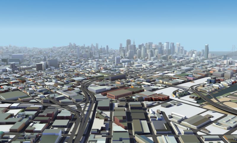
HERE Technologies Creates Detailed 3D Models of 75 City Centers to Help Drivers Better Navigate
【Summary】Mapping company HERE Technologies announced that it created highly detailed 3D models of 75 major cities centers around the world to help drivers find their way around. The models are called “HERE Premier 3D Cities” and are used to visualize cities in 3D. The 3D city models can be accessed via a vehicle's navigation system, giving drivers a real world view of their surroundings while traveling in dense urban areas.
Millions of drivers use navigation apps such as Waze or Google Maps each day, both of which provides precise turn-by-turn directions. Self-driving vehicles also require maps to navigate, but the maps these vehicles utilize are much more detailed and are referred to as "High Definition (HD) Maps.
HD maps include details such as the exact position of street signs and traffic signals, lane markers, elevation and curbs, which helps keep autonomous vehicles precisely in the center of a road lane. However with new technologies being developed, using immersive 3D maps for navigation may become the norm, especially in dense urban areas.
Mapping company HERE Technologies announced that it created highly detailed 3D models of 80 major cities around the world to help urban delivery drivers find their way around. The models are called "HERE Premier 3D Cities" and are used to visualize cities in 3D with scalable, accurate data sets.
In the future, the 3D city models can be accessed via a vehicle's navigation system, giving drivers a real world view of their surroundings while traveling in dense urban areas.
Using HERE's new Premiere 3D Cities, developers can build accurate 3D representations of 75 major cities worldwide. HERE Technologies will continue to add new cities to the list.
The 3D city models include fully indexed and addressable buildings and structures to indicate points of interest. Developers can also add advanced rendering techniques, such as CGI applications.
"HERE has captured the world's major road networks and urban environment for enterprise use cases in 3D," said Jørgen Behrens, Senior Vice President and Chief Product Officer at HERE Technologies. "Whereas today we navigate the world within 3-5 meters of relative location accuracy, the Internet of Things is quickly requiring a new level of sub-meter location precision. We're excited to provide developers across industries with this unique data that opens up a world of applications and possibilities."
HERE Technologies is one of the world's biggest mapping companies. To date, the company has mapped 196 countries around the world. Each day, HERE collects more than 28 terabytes of celestial lidar data to keep its global maps up to date.
The 3D models are built using a combination of LiDAR data as well as optical and satellite imagery. The models can help solve some of the biggest challenges with fully self-driving vehicles, building 5G cellular networks, or last-mile delivery and urban planning. The 3D models can also integrate with HERE's standard navigation maps giving them an extra layer of detail.
The 3D city models are already integrated into automaker Audi's flagship A8 sedan MIB2+ infotainment system, so A8 drivers can use the detailed 3D models to enhance navigation.
HERE has also partnered with Leia Inc., the provider of Lightfield hardware, and automotive supplier Continental to bring 3D maps and navigation onto Lightfield displays for automotive OEMs.
"Lightfield technology generates astounding 3D experiences for drivers without the need to wear special eyewear. That is why we have chosen this technology to bring our premium 3D cities data to life. We look forward to showcasing the results of our collaboration to our many automotive customers," said Adrián Novik, Senior Director for Product Management at HERE Technologies.

A 3D model of Chicago.
HERE's 3D city models serve as a base layer, so that third party developers can add their own map data according to their needs. Developers can also use the models for building their own computer simulation environments for autonomous vehicles.
Developers can search for individual buildings, attach additional metadata to them, and apply advanced rendering techniques including computer-generated images. Each kilometer of data is stored in small-size tiles for efficient streaming and rendering over a cellular network to a vehicle.
The maps are not just for self-driving vehicles and robotaxis. They can assist many different stakeholders, including urban planners for testing out new transport designs. The 3D maps can also aid 5G network operators to help them decide where 5G infrastructure should be built in order to reduce the chance of signal interference from tall buildings.
Developers can also use Premiere 3D Cities to create immersive visualization experiences for AR/VR applications, video games and simulations. While last-mile delivery drivers can use them to navigate complex urban environments, helping them find the exact buildings and entry points they need along their routes.
Here is offering sample datasets of London, Munich and Berlin, so developers can try out the 3D models. The samples are available for free on the Amazon Web Services Marketplace for a 90-day trial period.
-

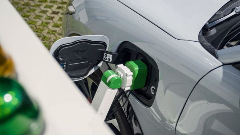
Ford is Testing a New Robotic Charging Station to Assist Drivers of EVs With Disabilities
-
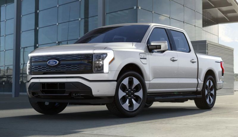
Ford Raises the Prices of the F-150 Lightning Electric Pickup Due to Rising Raw Material Costs
-
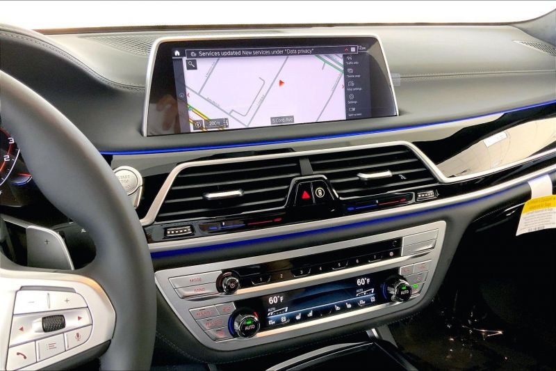
The BMW 7-Series to Feature HD Live Maps From HERE Technologies for Hands-Free Highway Driving in North America at Speeds up to 80 MPH
-

AutoX to Use the 'Eyeonic Vision Sensor' from California-based SiLC Technologies for its Robotaxi Fleet in China
-
LG Develops ‘Invisible’ Speaker Sound Technology That Could Revolutionize In-Vehicle Audio
-

Researchers at South Korea’s Chung-Ang University Develop a ‘Meta-Reinforcement’ Machine Learning Algorithm for Traffic Lights to Improve Vehicle Throughput
-
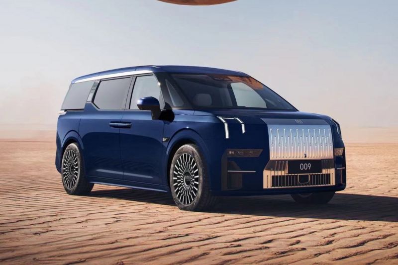
Zeekr’s New 009 Electric Passenger Van is the World’s First EV to Feature CATL’s Advanced ‘Qilin’ Battery With a Range of 510 Miles
-
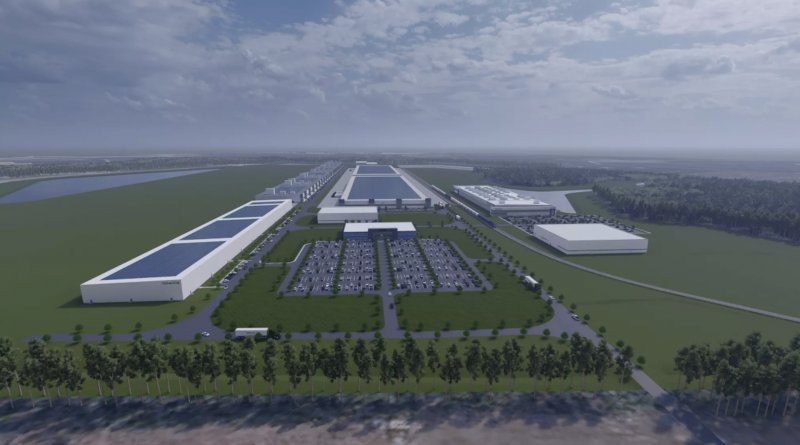
Redwood Materials is Building an Electric Vehicle Battery Recycling Facility in South Carolina


- Tesla Believes Its Dojo AI System Will Help It Win the Self-Driving Car Race
- LG Chem is Investing $3.2 Billion to Build a Cathode Manufacturing Facility for Electric Vehicle Batteries in Tennessee
- Ford Motor Co is Recalling 2.9 Million Vehicle That Could ‘Roll Away’ After the Transmission is Shifted Into Park
- Automakers Urge Consumers to Buy an EV Before Tax Credit Changes
- General Motors Announces Two Major Long-Term Supply Agreements for Enough Lithium and Cathode Material to Build 5 Million EVs
- Zeekr’s New 009 Electric Passenger Van is the World’s First EV to Feature CATL’s Advanced ‘Qilin’ Battery With a Range of 510 Miles
- Researchers at South Korea’s Chung-Ang University Develop a ‘Meta-Reinforcement’ Machine Learning Algorithm for Traffic Lights to Improve Vehicle Throughput
- The BMW 7-Series to Feature HD Live Maps From HERE Technologies for Hands-Free Highway Driving in North America at Speeds up to 80 MPH
- Ralph Nader Calls for NHTSA to Remove Tesla Full Self-Driving
- Sony, Honda Sign Agreement for Joint EV Brand
 About Us
 Contact Us
 Careers