


Honda is Conducting a Pilot in Ohio on a New ‘Road Condition Monitoring System' That Can Detect if Lane Markings Need Repair
【Summary】Honda Research Institute USA (HRI-US) has developed a new road condition monitoring system that uses a vehicle's cameras and GPS coordinates to identify poor lane markings on highways that have faded or eroded away. This vehicle-generated road condition reporting system can help road operators monitor lane marking conditions in a more efficient and cost-effective way, according to Honda.

Honda Research Institute USA (HRI-US) has developed a new road condition monitoring system that uses a vehicle's cameras and GPS coordinates to identify poor lane markings on highways that have faded or eroded away.
This vehicle-generated road condition reporting system can help road operators monitor lane marking conditions in a more efficient and cost-effective way, according to Honda.
HRI-US is launching a pilot program for the new system in Ohio. The company is collaborating with the Ohio Department of Transportation and plans to start providing road condition data collected from Honda vehicles in early 2022.
Modern automated highway driving systems like Tesla's Autopilot and Ford's Co-Pilot 360 and others use forward facing cameras and computer vision algorithms to identify solid and dotted painted lines on the road, as well as upcoming curves, which are then used to keep a vehicle centered in a lane. Developers of autonomous vehicles often use the popular "Hough Transform" algorithm for this task, which can identify lines, such as lane markings, in an image from a vehicle's forward-facing camera.
Since these types automated highway driving systems rely on the painted lines to identify driving lanes, roads that are poorly marked can be a safety hazard, including for drivers operating their vehicle manually.

Autonomous vehicle developers use computer vision algorithms and painted lane markings to identify road lanes to keep a vehicle centered in a lane.
The system developed by Honda uses GPS coordinates and a camera to collect roadway information that can be shared by road maintenance teams. Road hazards such poor lane markings that have worn away or faded can be detected as well as their precise location to help road maintenance crews make the necessary repairs.
"We regularly inspect our roadways throughout Ohio and act quickly to address any issues, like faded or damaged pavement markings, that are identified. It's a labor-intensive process. Good pavement markings are important to the drivers of today and the vehicles of tomorrow," said Ohio Department of Transportation Director Jack Marchbanks. "We're excited to work with Honda to improve the process."
Honda Research Institute also is exploring how connected vehicles can access this road data before a driver approaches the area and warn them of the potential hazard via warnings on the instrument cluster. The anonymized data can be used to adjust Honda and Acura advanced driver assistance systems (ADAS) perception settings and warn drivers if lane markings are faded or not visible by the vehicle's cameras or the driver.
How Honda's Lane Marking Classification Works
When monitoring lane marking conditions using the vehicle's forward facing camera, the system visually classifies lane lines to the left and right of the vehicle using four color codes - green, yellow, gray and red.
Green and yellow classifications indicate ideal to good lane marking conditions. The system displays gray classifications when there are no lane lines and red if the lane markings need repair.
That road condition information, including longitude and latitude coordinates along with relevant images and video clips, is captured by the vehicle, anonymized, and then streamed to a secure cloud-based platform for analysis.
Road maintenance crews can then access this secure platform to identify the location, type and severity of the road condition and hazard information, as well as obtaining a still image and video of the problem taken as the vehicle approaches the area.
"Maintaining good road conditions helps keep everyone sharing the road safe," said Paritosh Kelkar, scientist at Honda Research Institute USA, Inc. and project leader of the road condition monitoring system. "Real-time, high-accuracy roadway data captured from connected vehicles has the potential to improve the process of identifying, reporting, and more quickly repairing hazardous road conditions."
In addition to lane markings, Honda Research Institute plans to expand the system's application to monitor other types of road conditions to help make roads safer for all drivers.
Honda Research Institute, USA (HRI-US) was established in 2003 as an advanced research center in North America that provides innovative solutions to complex problems with direct applications to Honda's current and future technology roadmap.
The technologies being developed by HRI-US include the feilds of computer vision, robotics, autonomous driving and machine learning. HRI-US also develops strategic partnerships with public and private institutions to foster innovation.
-

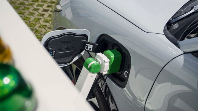
Ford is Testing a New Robotic Charging Station to Assist Drivers of EVs With Disabilities
-

Ford Raises the Prices of the F-150 Lightning Electric Pickup Due to Rising Raw Material Costs
-
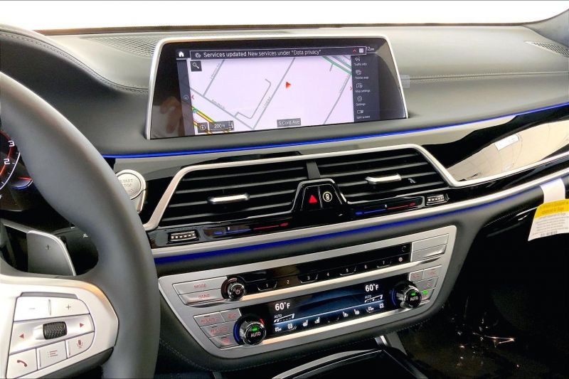
The BMW 7-Series to Feature HD Live Maps From HERE Technologies for Hands-Free Highway Driving in North America at Speeds up to 80 MPH
-

AutoX to Use the 'Eyeonic Vision Sensor' from California-based SiLC Technologies for its Robotaxi Fleet in China
-

LG Develops ‘Invisible’ Speaker Sound Technology That Could Revolutionize In-Vehicle Audio
-
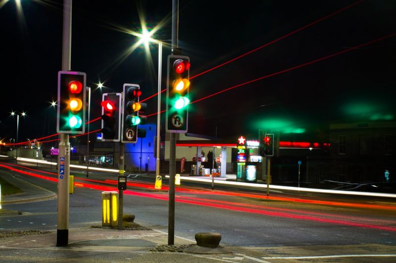
Researchers at South Korea’s Chung-Ang University Develop a ‘Meta-Reinforcement’ Machine Learning Algorithm for Traffic Lights to Improve Vehicle Throughput
-

Zeekr’s New 009 Electric Passenger Van is the World’s First EV to Feature CATL’s Advanced ‘Qilin’ Battery With a Range of 510 Miles
-
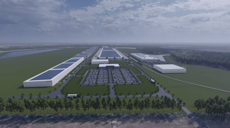
Redwood Materials is Building an Electric Vehicle Battery Recycling Facility in South Carolina


- Tesla’s Battery Supplier Panasonic is Close to Selecting the Site of its New U.S. Battery Plant
- California’s Electric Vehicle Sales for Q1-Q3 2022 Show That Tesla is Facing Growing Competition
- Stellantis Acquires Autonomous Driving Software Startup aiMotive
- Honda's New EV Friendly Retail Plans Hint at the End of Mega Dealerships
- Volvo is Building a New EV Service and Training Facility at its U.S. Headquarters in New Jersey To Fast Track its Electrification Plans
- Polestar Shares the First Image of the Polestar 3 Electric SUV Ahead of its October Debut
- Electric Hypercar Developer Rimac Raises $500 Million Euro in Series D Round, Investors Include Porsche, Softbank and Goldman Sachs
- Volkswagen’s Software Company CARIAD to Use BlackBerry QNX to Support ADAS and Autonomous Driving Functions of Future VW Vehicles
- Construction of Panasonic’s New EV Battery Factory in Kansas to Start in November
- Tesla Vehicles Operating in Autopilot Mode Involved in 273 Crashes in Under a Year, the NHTSA Reports
 About Us
 Contact Us
 Careers